France · Lot · Exploration history
Résurgence du Marchepied
Three sumps in the Célé valley
- Maximum depth
- 69 m
- Cave length
- 1,338 m
- Sumps
- 3
- Entrance
- Restricted
- Preferred setup
- Sidemount
- Maps & surveys
- View below ↓
Our own footage — CaveDiving.pl. Watch on YouTube ↗
Cave maps and surveys
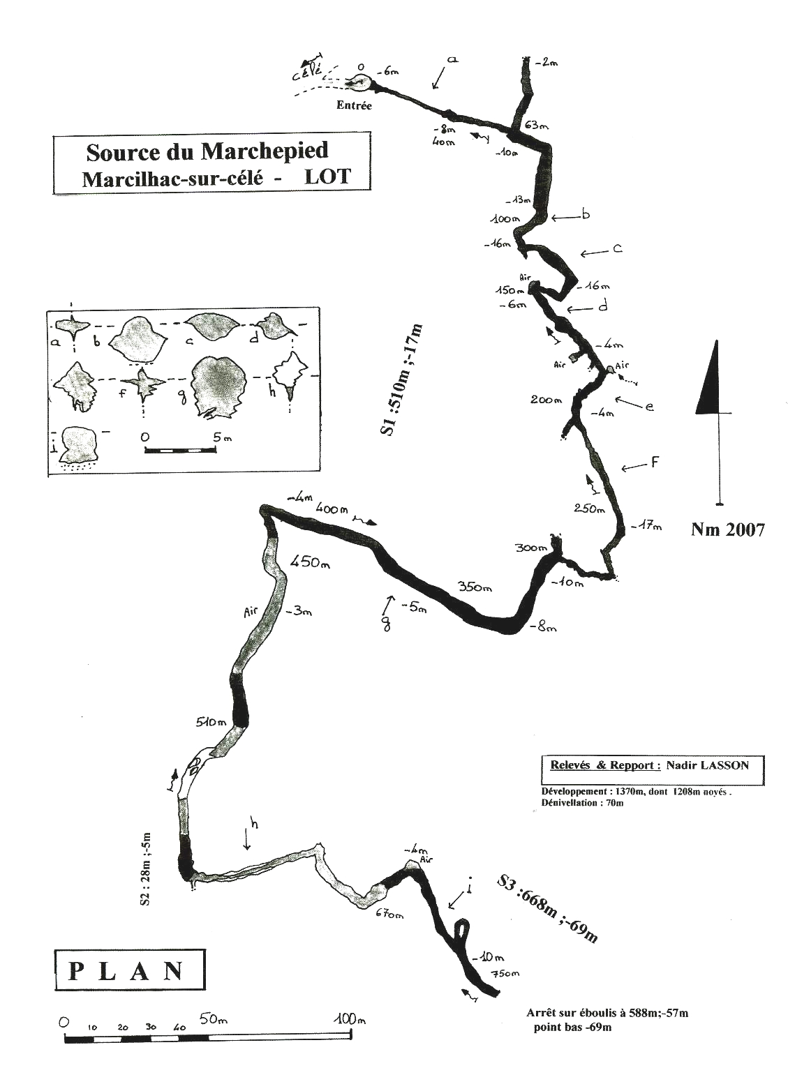
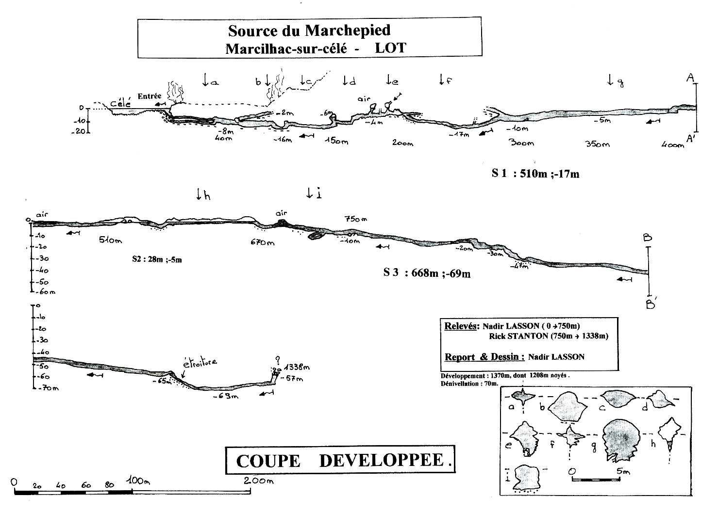
The plan shows the route through the cave; the longitudinal profile shows the depths and the three sumps. Select either image to open the full-resolution survey.
Plan view
Longitudinal profile
Contents
Marcilhac-sur-Célé · Lot · France
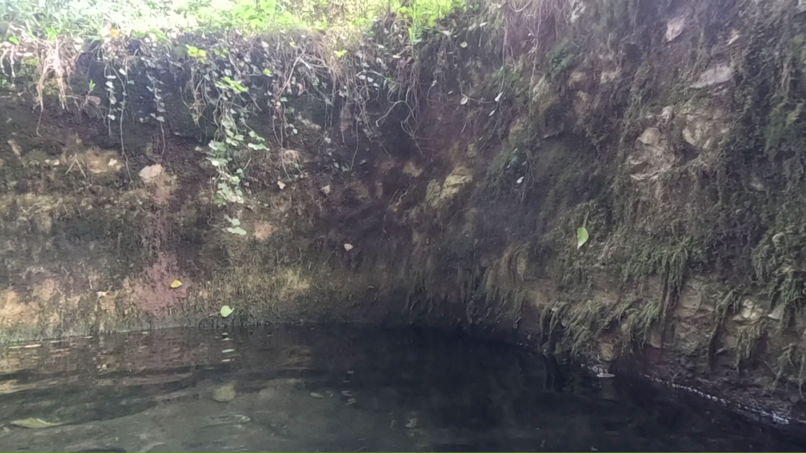
A small spring beside the River Célé marks the entrance to Marchepied. Beyond a tight entrance, the cave remains fairly confined and runs through three sumps, separated by short stretches of dry or partly flooded passage. The third sump is the deepest, reaching 69 metres before the explored route ends at a boulder choke.
Exploration began after divers dug open the blocked entrance in 2002. Over the following years they explored and surveyed the passages, returning to clear the entrance when it became obstructed again. In 2008, Rick Stanton reached the boulder choke 1,338 metres from the entrance.
A spring beside the Célé
Résurgence du Marchepied is a karst spring, where water flowing through the limestone emerges at the surface. It lies in the Célé valley near Marcilhac-sur-Célé, in the Lot department of France.
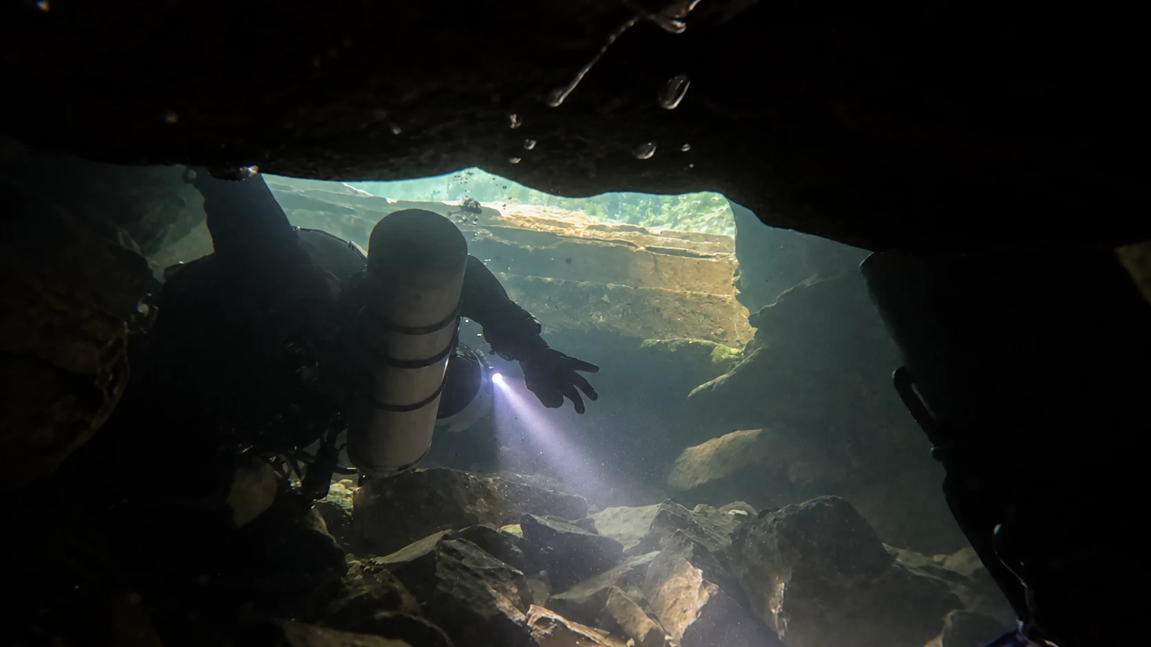
The entrance leads down a stony slope through a restricted passage. The French caving federation, Fédération française de spéléologie (FFS), describes it as passable with a small backmounted twinset, though sidemount is preferred. The passage becomes considerably wider after the first few metres.
There are places to surface between the sumps, but the air there may be unsafe to breathe. The FFS description warns of high carbon dioxide concentrations and depleted oxygen levels.
2002: opening the entrance and the first dives
According to the FFS account, the entrance had been completely blocked for centuries. In the summer of 2002, a team associated with Britain's Cave Diving Group — Clive Stell, Tim Chapman, Marcel Hattemann and Martina Maier — cleared it after extensive digging.
A series of dives took the team through the first sump, the short second sump and the passages between them. They reached the start of the third sump, roughly 670 metres from the entrance.
2005–2007: further exploration and survey work
In 2005, Clive Stell explored about 100 metres of the third sump, reaching a depth of 13 metres. The entrance had meanwhile become partly blocked again. Peter Mulholland and Nadir Lasson reopened it in 2006.
The following year, divers reinforced the entrance and slope with metal sheeting and props. They also renewed the equipment installed along the route and surveyed the cave passages.
2008: exploring the third sump
Pierre-Éric Deseigne made two solo exploration dives into the third sump in 2008. The FFS account records around 200 metres explored on the first dive and another 250 metres of previously unexplored passage on the second, reaching a depth of 58 metres.
Two months later, Rick Stanton continued the exploration over two dives. He passed a gravel-filled restriction at about 65 metres and explored a further 73 metres of passage, reaching a maximum depth of 69 metres. Beyond the deepest point, the passage rose towards a boulder choke at around 57 metres. This stopped him 1,338 metres from the entrance.
Lengths, depths and passage layout
The FFS description gives the following lengths and maximum depths for the three sumps:
| Sump | Length | Maximum depth |
|---|---|---|
| S1 | 510 m | 17 m |
| S2 | 28 m | 5 m |
| S3 | 668 m | 69 m |
The FFS account places the farthest explored point 1,338 metres from the entrance and gives a total of 1,208 metres of flooded passage. The original survey and a 2022 article in Spelunca instead list 1,370 metres as the total surveyed length. These sources do not explain the difference between 1,338 and 1,370 metres.
A winding, partly flooded passage connects the short second sump to the start of the third. The first hundred metres of S3 average about 12 metres deep. The route then descends to around 30 metres and on to 47 metres. In this deeper section the passage measures approximately 3 × 4 metres in cross-section. Farther on lies the gravel restriction at 65 metres described above.
Surveying and photographing Marchepied
The plan above shows how much the first sump twists and turns. The longitudinal profile makes the difference in depth between the first two sumps and the third particularly clear.
The profile credits Nadir Lasson with the survey from the entrance to 750 metres, and Rick Stanton with the section from there to 1,338 metres. Lasson compiled the measurements and drew the survey.
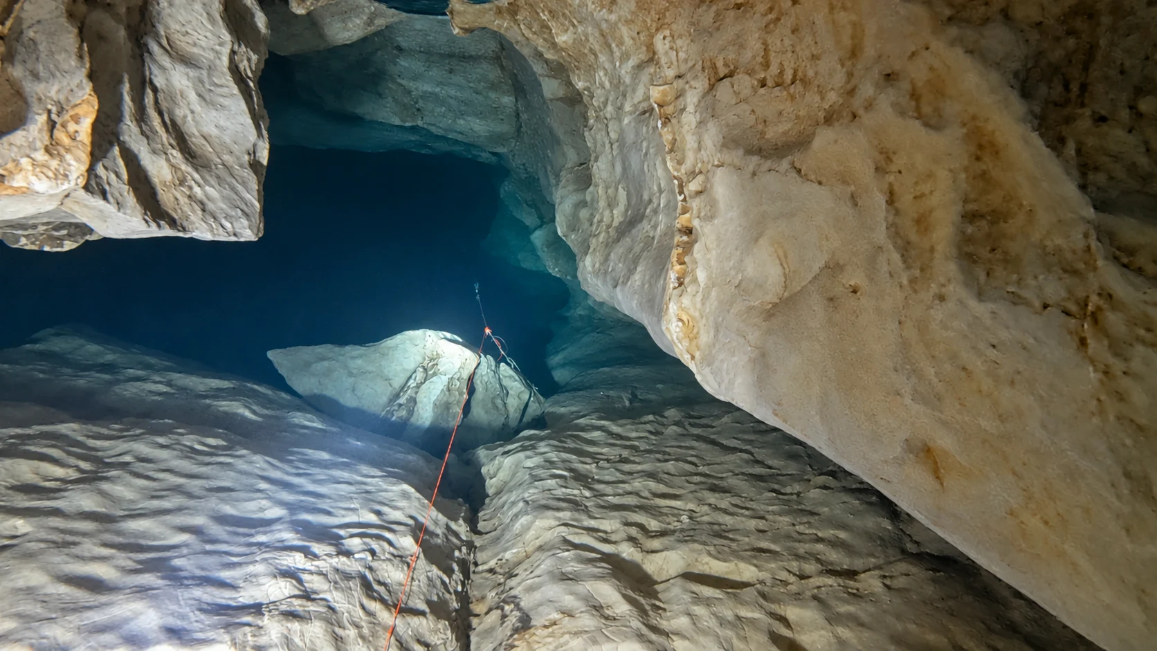
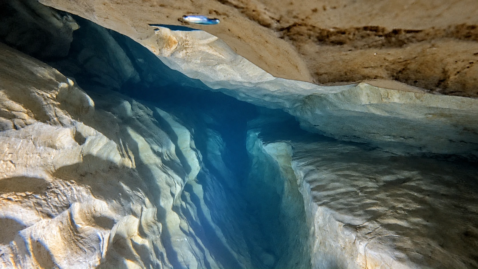
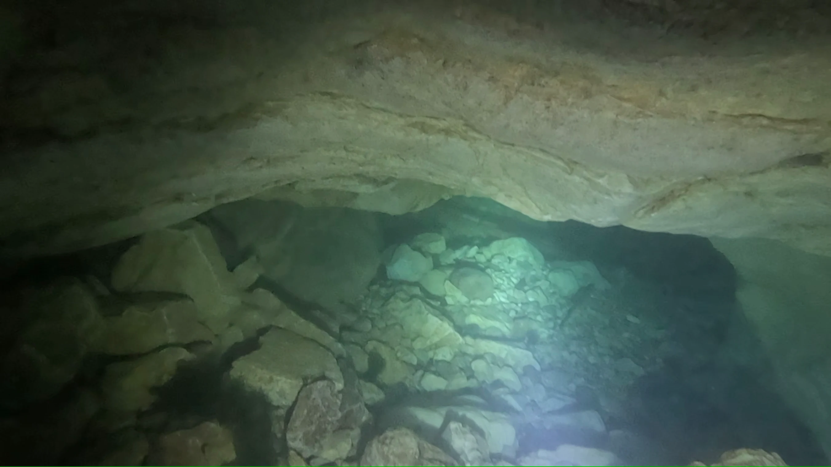
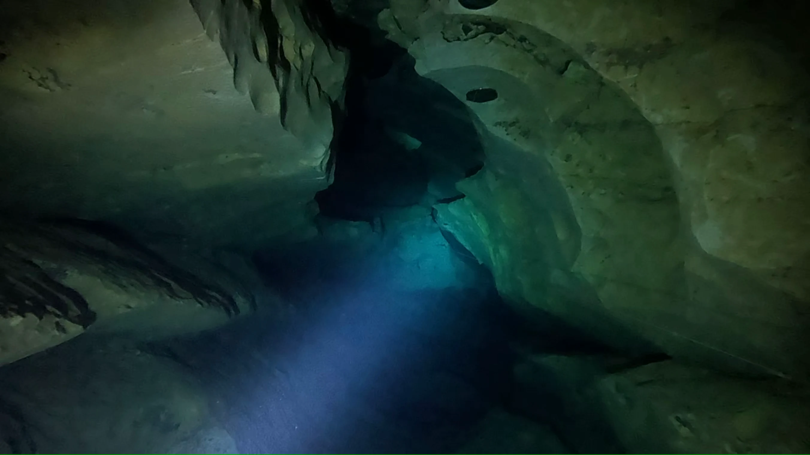
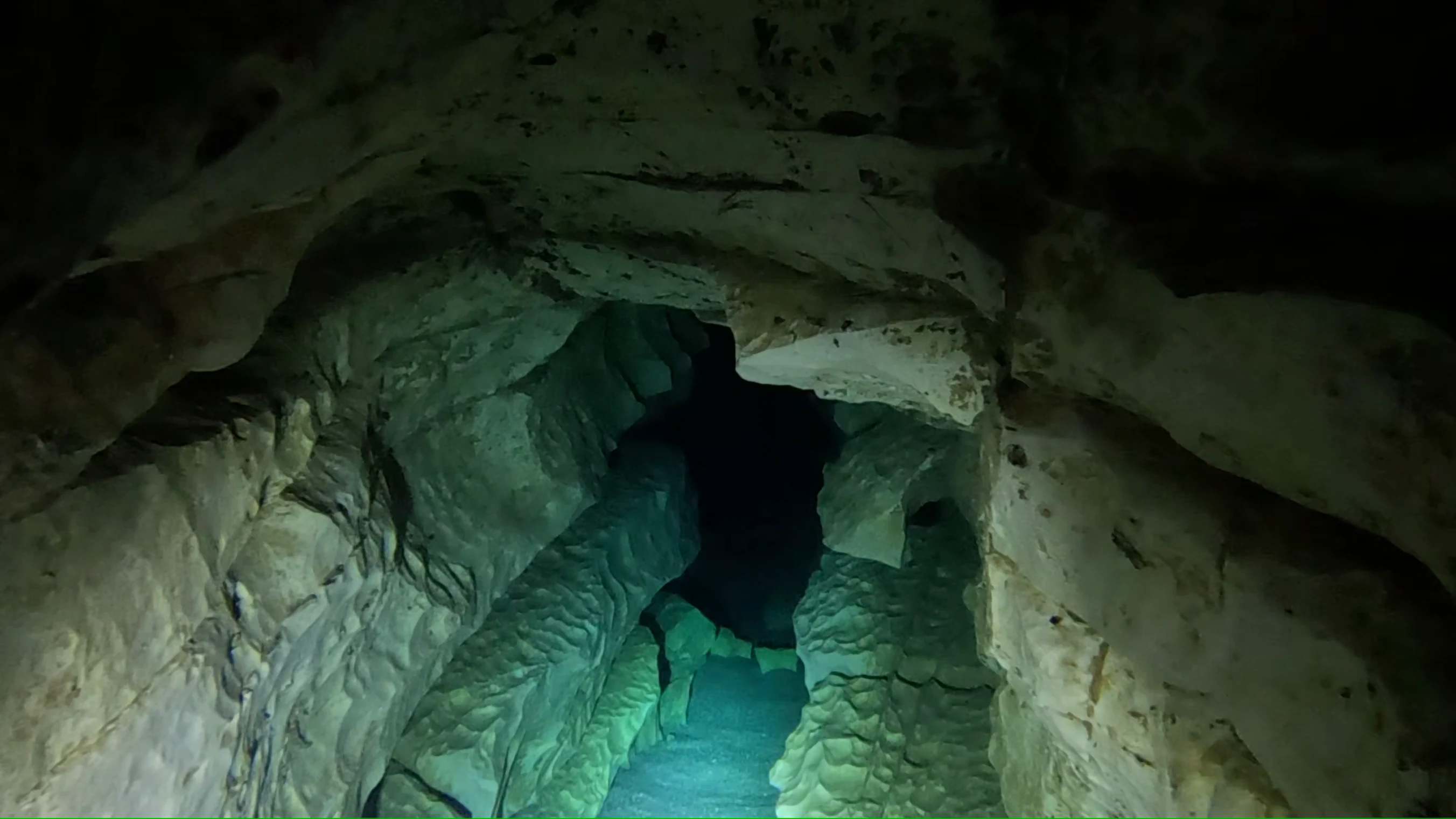
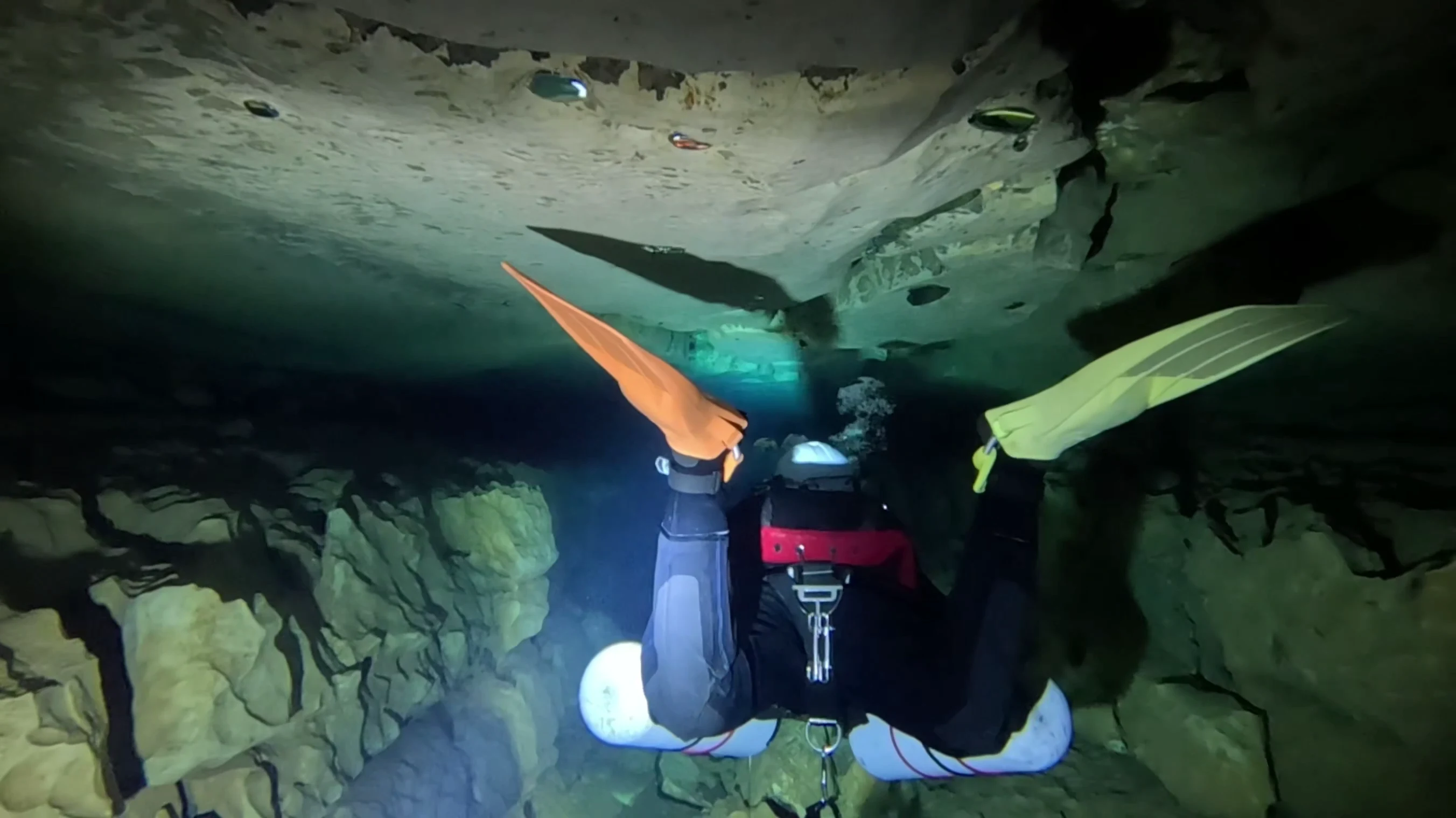
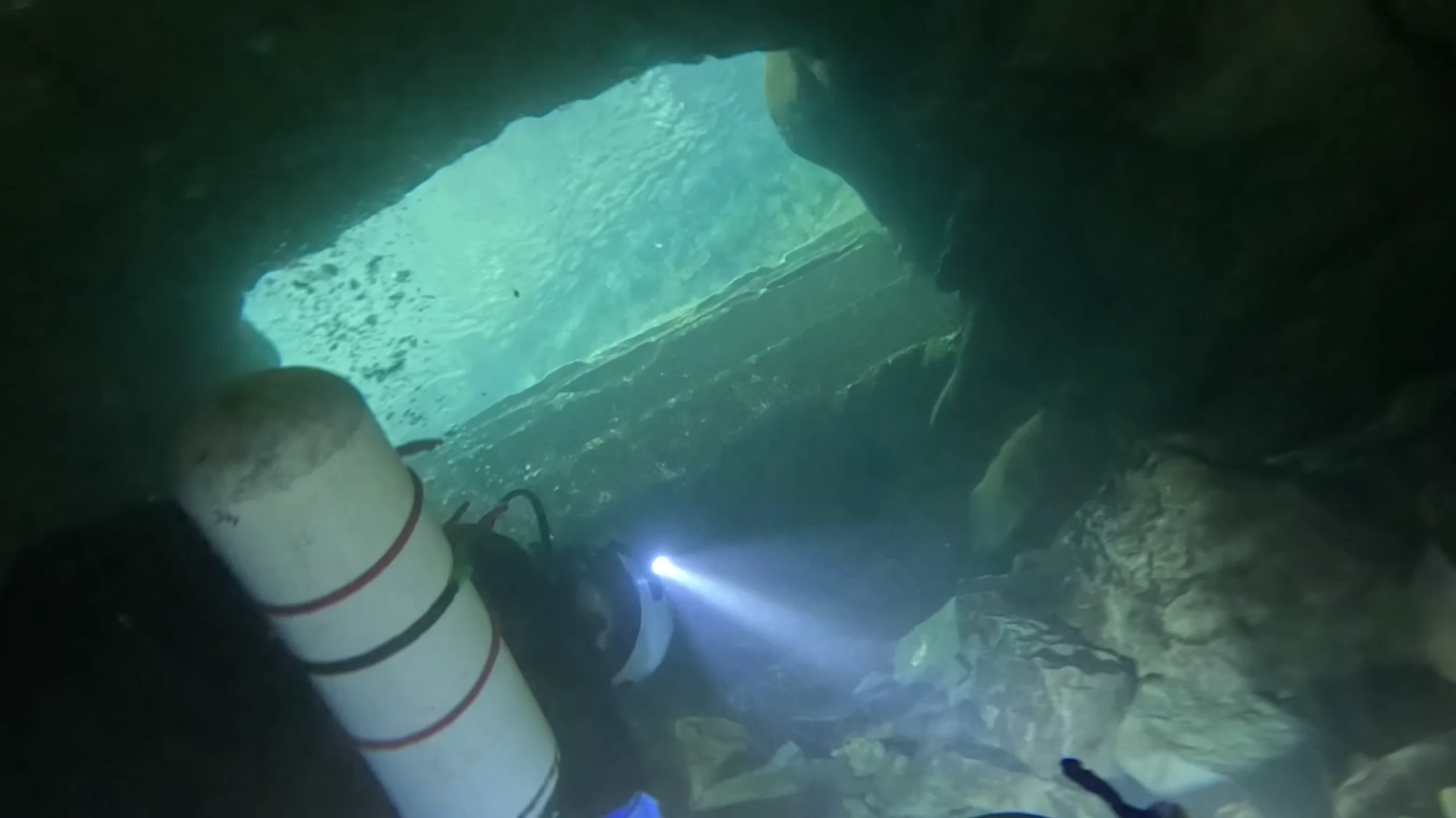
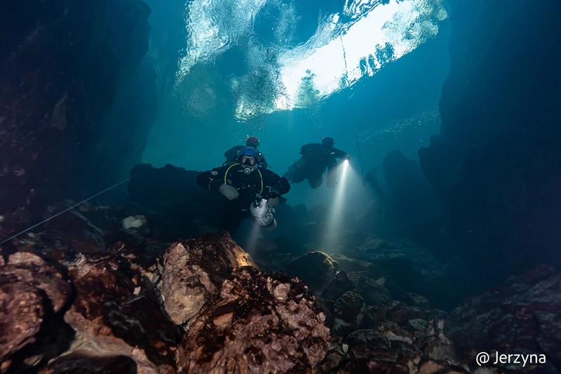
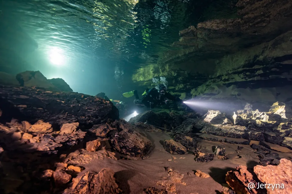
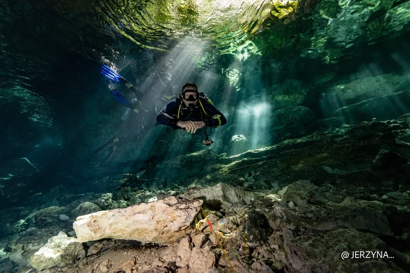
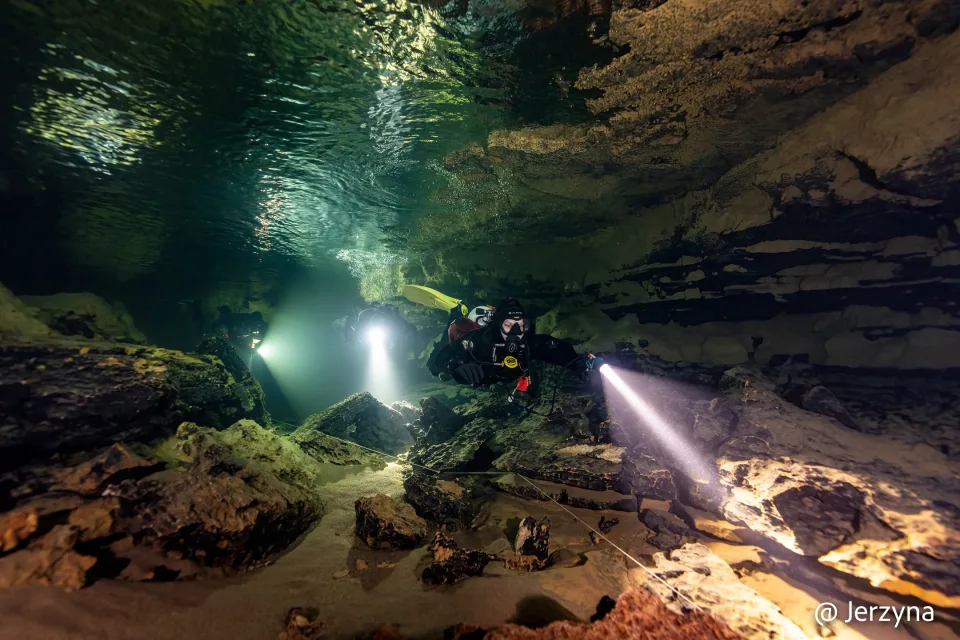
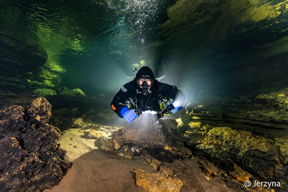
Our dive footage shows the pale limestone beds, loose stones on the floor and narrow gaps between boulders. Where a diver is visible, their silhouette gives a sense of the passage dimensions.
Fatal accidents
Bulletins published by Spéléo Secours Français (SSF), the French cave rescue organisation, describe two fatal accidents at Marchepied, in 2019 and 2021. Both occurred close to the entrance.
23 August 2019
A 59-year-old diver died in the cave. The SSF bulletin places him in a confined passage about 20 metres from the entrance, at a depth of roughly 6 metres. Rescue divers made several dives to assess the scene for the gendarmerie and recover the equipment and the diver's body. The operation ended that evening.
7 October 2021
Another diver died in a restriction about 20 metres from the entrance, at a reported depth of approximately 6–10 metres. SSF describes finding him trapped in the narrow passage. His body was recovered at around 15:00. Initial news reports suggested that he may have become unwell and entangled in the guideline, but the available sources do not establish the cause of the accident.
The boulder choke at the limit of exploration
The FFS description and the surveys reproduced here end at the point Rick Stanton reached in 2008. The boulder choke lies at about 57 metres, beyond the deepest part of the third sump. The sources cited here contain no record of exploration beyond it.
This article covers the cave's history and layout. Before diving, check current access arrangements, water conditions and the state of the entrance and guideline with local divers and caving organisations.
More views of Marchepied
A few more views of the entrance, limestone passages and restrictions, all taken from our dive footage.
Do you know Marchepied, have additional material, or see something that should be corrected or expanded? Contact me — I will be happy to verify the information and develop the article further.
References and sources
Fédération française de spéléologie / Plongée souterraine. Marchepied — fiche du site et historique.
The main source for the cave description, exploration history and S1–S3 survey figures. In French.
FFS site description ↗Fédération française de spéléologie / Plongée souterraine. Marchepied — coupe topographique.
Original longitudinal profile. Survey: Nadir Lasson and Rick Stanton; drawing: Nadir Lasson.
Longitudinal profile ↗Fédération française de spéléologie / Plongée souterraine. Marchepied — plan topographique.
Original plan view. Survey credits: Nadir Lasson and Rick Stanton; drawing: Nadir Lasson.
Cave plan ↗Delautier, Sébastien (2022). Un aperçu de la France souterraine. Spelunca 166, p. 116.
Reports a length of 1,370 metres. A copy is held in our source archive. In French.
Spelunca 166 — PDF ↗Spéléo Secours Français (2019). Lettre d’information du SSF n°47.
Official account of the operation on 23 August 2019. In French.
SSF bulletin no. 47 ↗Spéléo Secours Français (2022). Lettre d’information du SSF n°55.
Account of the recovery operation following the accident on 7 October 2021. In French.
SSF bulletin no. 55 — PDF ↗La Dépêche du Midi (7 October 2021). Lot : un plongeur trouve la mort dans un gouffre à Marcilhac-sur-Célé.
Initial news coverage of the accident on 7 October 2021. In French.
News report ↗The Gazette. Richard Stanton MBE — Thai cave rescue, 26 June–11 July 2018.
Official account of Rick Stanton's role in finding and evacuating the team from Tham Luang, and the citation for his George Medal.
George Medal citation ↗
Our editorial archive records the authors, source URLs, access dates and rights information. Keeping an archive copy does not itself grant permission to republish the material.
 RELACJAFrancja
 RELACJABałkany
 RELACJAWłochy
 RELACJAMeksyk
 DLA KURSANTÓWMateriały szkoleniowe
 NOTATKAKontakt